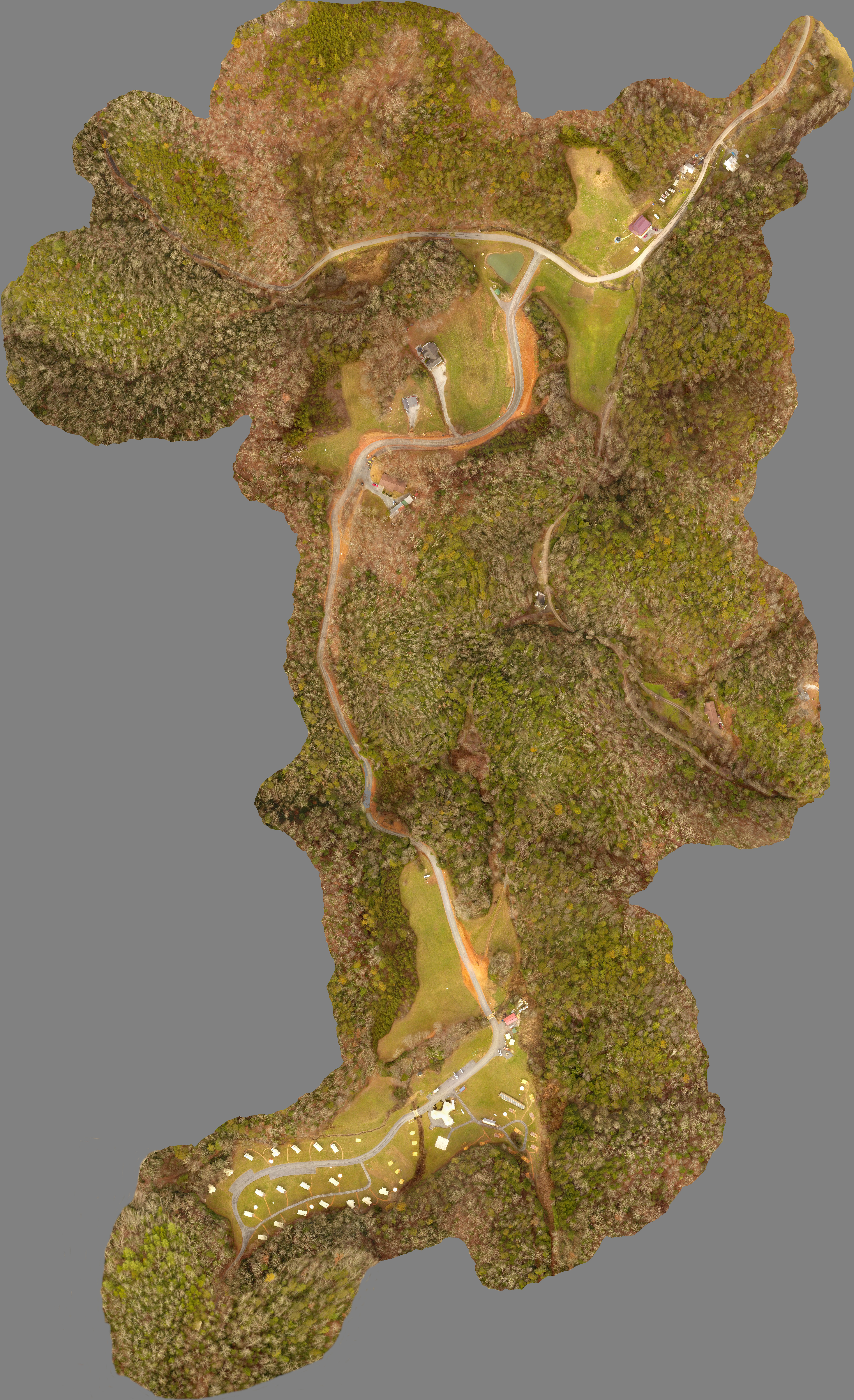
LandTech recently provided aerial mapping services for the Smoky Mountain Under Canvas (SMUC) campground in Pigeon Forge, TN to assist with documenting as-built conditions of the site.
The services provided by LandTech included setting ground control points, collecting aerial photographs using our quadcopter small unmanned aircraft system (sUAS, or drone), processing the imagery using our photogrammetry software, preparing a digital photo ortho-rectified to the project coordinate system, ground survey of entrance roadway and bridges/culverts, and preparing a CAD file with survey information.
Here is a website with more information about the SMUC campground: https://www.undercanvas.com/camps/great-smoky-mountains/
Below is the digital ortho-photo prepared for the project.


0 Comments