Utility Location
LandTech employs the most advanced electromagnetic location equipment to assist with the identification and location of underground utilities, using standards outlined by the American Society of Civil Engineers (ASCE).
SUE is a branch of engineering and surveying practice that involves managing certain risks associated with utility mapping at appropriate quality levels, utility coordination, utility relocation design and coordination, communication of utility data to concerned parties, and utility design. (ASCE 38-02)
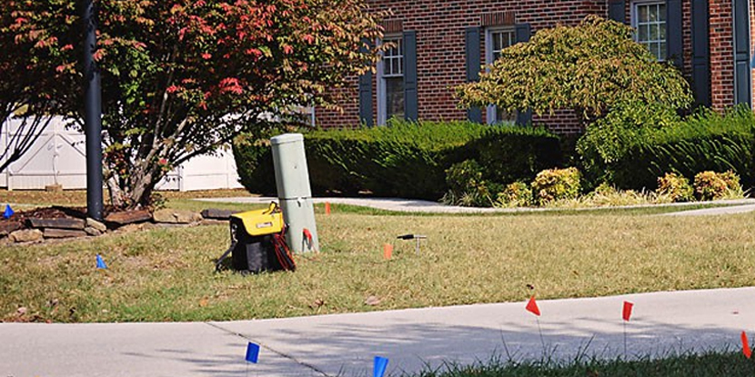
Designation is the process of using a subsurface geophysical method to interpret the presence of a subsurface utility and to mark its approximate horizontal position (its designation) on the ground surface. Designation services are identified by ASCE as Quality Level “B”.
Utility location and mapping is accomplished by using various land surveying methods to measure horizontal position of utility lines and structures, and importing those measurements into a CAD program for the production of maps.
In connection with your utility location project, LandTech will submit an e-ticket to the Tennessee 811 system’s automated service, and we will coordinate our work with the limited line-marking services provided by the public utility companies serving the project site.