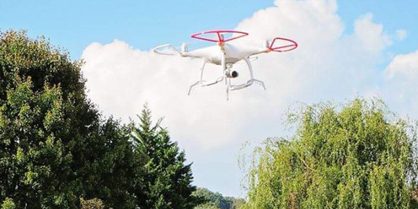
Aerial Mapping

LandTech now has the capability to use small unmanned aircraft systems (sUAS, commonly called drones) for providing aerial mapping services. We have a quadcopter drone for use on small sites and a fixed-wing drone for larger sites. These drones collect digital images which can be used themselves, or converted to three-dimensional data for production of CAD drawings, maps, and measurements.


Aerial Photography and Video

The aerial land imagery available from online free or government sources, such as GIS, is often outdated. LandTech can provide accurate, up-to- date digital photographs and video of a property or site that you can use for planning, design, marketing, or other purposes.

Digital Orthophotos

LandTech can provide you with digital photographs of a property or site that have been processed (orthorectified) so that they are geometrically oriented to a specified coordinate system, such as the Tennessee State Plane Coordinate System, with a uniform scale.

Topographic and Planimetric Mapping

As a time and cost saving alternative to other survey measurement methods, LandTech can use aerial imagery obtained through our sUAS to produce topographic and planimetric maps in CAD format for site planning and design or other uses.

Digital Terrain Modeling (DTM)

Aerial photography accomplished by the use of sUAS platform can be used to create a three-dimensional digital model of the surface of the site, which can be used to prepare contour maps for your site or volume estimates for stock piles, excavation sites, or earthwork construction.

3D Dense Surface Models (DSM)

A DSM is similar to a DTM in that it creates a digital model of a surface, but a DSM is produced from a more dense set of measurements (a “point cloud”). We can use aerial and ground-based digital photography to obtain a point clouds and create DSMs of complex objects, such as building faces, piping, machinery, and similar objects.