Post Construction Certifications

An important step for a land development project is confirmation that the final site was constructed in accordance with the design plans. In the City of Knoxville, this step is called a Development Certification.

According to the City’s Land Development Manual, or LDM (website link LDM):

“An approved development certification is one of the items required prior to the release of any bond (also called Performance and Indemnity Agreement) that has been collected by the Stormwater Engineering Division. The development certification is issued by the Stormwater Engineering Division after all construction has been completed in accordance with the design plans and requirements of the Knoxville Stormwater and Street Ordinance.

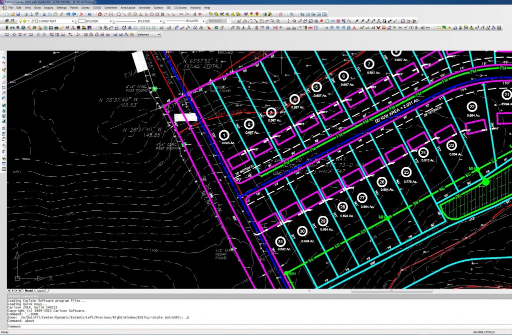
Appendix A contains a site review checklist for final approval of a constructed site development project and the associated as-built drawing.

Every as-built drawing must be properly certified by the appropriate design professional engineer and the registered land surveyor.”

Therefore, the development certification involves both the civil engineer and the land surveyor.  Land Tech staff includes both professional civil engineers and registered land surveyors that can assist with the development certification process.

Contact us if you have any questions about this process for your project. http://landtechco.com/home


Civil Engineering and Land Surveying Websites

The internet is a technology that has altered our society in many ways, and the civil engineering and land surveying professions are no different. There are many websites we routinely use when working on land development projects. Below are a few examples.

1. Knoxville Code of Ordinances : We use this website to get information on zoning and stormwater regulations for the City of Knoxville.

2. Knoxville-Knox County Metropolitan Planning Commission : This website has information on subdivision regulations, and zoning ordinances for both the City of Knoxville and Knox County.

3. City of Knoxville Engineering Department : This site contains links to various engineering divisions, the BMP Manual, the Land Development Manual, and KGIS mapping for the City of Knoxville.

4. Knox County Engineering Department : This site contains information for the Knox County Engineering Department, such as their stormwater manual and contact information.

5. TDEC Water Pollution Map : This Tennessee Department of Environment & Conservation (TDEC) website provides water quality information for streams and water bodies in the State.

6. USGS Map Locator & Downloader : You can find and download the most current or historic U.S. Geological Survey (USGS) maps, which includes roads, contours, streams, and other relevant mapping information.

7. OPUS : The National Geodetic Survey (NGS) provides an Online Positioning User Service (OPUS) for uploading GPS data and obtaining geodetic (latitude and longitude) or state plane coordinates.

These are just a few of the websites we routinely use to acquire civil engineering and land surveying data needed for our land development projects. If you have any questions about your project, please contact our LandTech staff.

For more information about us, and contact information, visit our website:  http://landtechco.com/home.

Permitting for Construction in a Stormwater Ditch

LandTech was recently contacted by a property owner in Knox County, Tennessee about providing a design for a pipe culvert in his side yard. Approximately 25% of the property is isolated by a stormwater ditch crossing the parcel. The property owner wants to install a pipe culvert crossing for easy access across the swale to the isolated portion of the property.

Sometimes a seemingly simple project involves numerous regulatory issues.

When we visited the site, we noticed a small amount of water flowing in the ditch. This would mean the ditch is technically a “stream”. Construction in a stream requires an Aquatic Resource Alteration Permit, or ARAP, from the Tennessee Department of Environment & Conservation (TDEC). More information about ARAP’s can be found here:

http://www.tn.gov/environment/article/permit-aquatic-resource-alteration-permit

We also discovered this portion of the property is in a FEMA 100-year special flood hazard area. This means the culvert would need to be sized to pass a 100-year flood without impacting the water surface elevation. If you’re interesting in finding the limits of any 100-year special flood hazard area, visit the FEMA Flood Map Service Center website:

http://msc.fema.gov/portal

Needless to say, this project is more complicated than the property owner anticipated, but LandTech can ease your burden by providing the advice and professional land surveying and civil engineering services needed to navigate the complexities of a project like this.

For more information about your project or our services, visit our website  http://landtechco.com/home or give us a call.

Vols win thriller

At LandTech, we’re interested in more than just civil engineering and land surveying. We’re also big UT Vol football fans.

After being down by 14 points with less than 6 minutes left in the game, the Vols made a miraculous come back against the South Carolina Gamecocks this Saturday, to win 45-42 in overtime.

I’ve seen a lot of crazy finishes in college football, and this game will definitely be one I remember for a long time.  For highlights, go to the UT Sports website: Video Highlights

The Vols have a bye next week, but return to Knoxville on November 15 against Kentucky.

Waters of the United States Legislation

The U.S. House of Representatives recently passed legislation to restrict the EPA and U.S. Army Corps of Engineers (USACE) from:

 ….developing, finalizing, adopting, implementing, applying, administering, or enforcing the proposed rule entitled, “Definition of ‘Waters of the United States’ Under the Clean Water Act,” issued on April 21, 2014…..

Of course, the legislation would also need to pass the U.S. Senate to become law, which is doubtful this year.

https://beta.congress.gov/bill/113th-congress/house-bill/5078

This legislation impacts land development professionals, such as civil engineers and land surveyors, because of impacts to stream and wetland permit regulations. New Federal rules could reassign regulatory jurisdiction from State Regulators (such as the Tennessee Department of Environment & Conservation) and Local Regulators (such as the City of Knoxville or Knox County) to Federal Regulators such as the EPA or USACE.

This will definitely be a topic of interest in upcoming sessions of Congress. Stay tuned.

Value of Planning

I was reminded about the value of planning from a recent experience at Neyland Stadium in Knoxville, Tennessee. In the first quarter of the game, I went to the concession stand to buy a hot dog. They had about 20 hot dogs cooking, but had no buns…..and this was in the first quarter of the game!!!

In this instance, proper planning would have required delivery of the same number of buns as hot dogs, but apparently was not done.

The value of planning is no less valuable for civil engineering and land surveying projects. The preparation of good plan drawings is critical for a successful land development project.

For more information on our land surveying and civil engineering services, visit our website http://landtechco.com/home

CAD: A Design Tool for Civil Engineering and Land Surveying

Virtually every industry has been affected by computer technology, with civil engineering and land surveying being no exception. Land surveying field measurement procedures have been greatly enhanced from total stations with electronic distance measuring (EDM) and angle measurement, hand held data collection, and global positioning systems (GPS).

The use of computers has also revolutionized civil engineering and land surveying tasks in the office. Over time, the use of computers has evolved from more simple drawing tasks (computer-aided drafting, or CAD) to more sophisticated design tasks (computer-aided drafting and design, or CADD), and we typically use the term “CAD” to mean both computer-aided drafting and design software.

But, more specifically, what is CAD software? CAD is a computer software technology used for the preparation of drafting and design documentation in a two-dimensional (2D) and/or three-dimensional (3D) coordinate systems.

For example, property boundary plats are drawn in 2D space, and topographic survey maps or civil engineering plans with ground surface elevations are drawn in 3D space.

Below are images illustrating basic 2D and 3D coordinate systems.

354px-Cartesian-coordinate-system_svg
2D Coordinate System
3D Coordinate System


LandTech uses CAD software licensed and distributed by Carlson. Carlson software has modules specifically tailored for civil engineering and land surveying, making our design and drafting process more efficient than using a CAD platform alone. Below is a screen capture of a CAD drawing in Carlson software.

CAD Screen Capture
CAD Screen Capture


We would love to talk with you about how we can help you with your project. For more information, visit our website http://landtechco.com/contact_us

Preparing a Constuction Cost Estimate

LandTech often includes preparation of a construction cost estimate in connection with our professional engineering design services. Preparing an “accurate” construction cost estimate can be an elusive undertaking.

We refer to this task as an “opinion of probable construction cost”, in accordance with language used by the Engineers Joint Contract Documents Committee (EJCDC; http://www.ejcdc.org/). According to EJCDC documents:

…..because [the] Engineer has no control over the cost of labor, materials, equipment, or services furnished by others, or over contractors’ methods of determining prices, or over competitive bidding or market conditions, [the] Engineer cannot and does not guarantee that proposals, bids, or actual Construction Cost will not vary from opinions of probable Construction Cost prepared by [the] Engineer. If [the] Owner requires greater assurance as to probable Construction Cost, [the] Owner must employ an independent cost estimator…

An opinion of probable construction cost estimate can be performed at different stages of design; i.e., concept design, preliminary design, final design, etc.  The earlier in the design process the estimation is performed, the less accurate it will be since more specific information will be available for estimation as the design plans are completed.

When preparing an engineer’s opinion of probable construction cost, LandTech typically use construction cost data available from the Tennessee Department of Transportation (TDOT) or RSMeans.

Average unit price information can be found for TDOT projects on their website here http://www.tdot.state.tn.us/construction/Average_Bid_Prices.htm. When using TDOT data it is important to remember how the size of a project might affect unit prices (i.e., economies of scale). For example, the unit prices for asphalt pavement may be smaller for a ten mile roadway project as compared with a small parking lot project.

RSMeans is a construction cost estimation database published by Reed Construction Data, which has been providing construction cost data for over 70 years. Updated construction cost data manuals are published annually. RS Means staff collects cost data for materials, labor, and equipment; and includes provisions for construction overhead and profit, and city cost indexes.

Please contact LandTech if you need assistance with developing an opinion of probable construction cost for your project or if you need advice with any other aspect of the land development process, including civil engineering or land surveying services. http://landtechco.com/home